The photographs of the Earth when taken from space at unique angles show us a completely novel view of earth. We see that the these landscapes are real works of art. We present to you these 18 photographs to show the splendor of earth landforms.
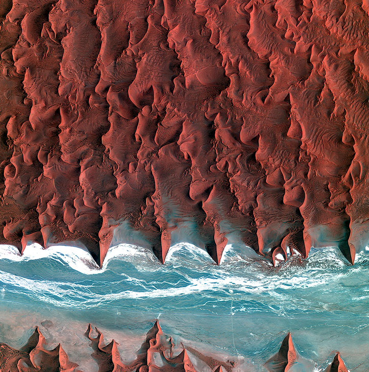
1. The Namib Desert
The blue and white part is the course of dry river Tsauchab. The dark dots represent the vegetation clumps around the river bed while the salt deposits and sediments are represented by the white parts. A 45 km long road can be seen on the photograph from left to right.
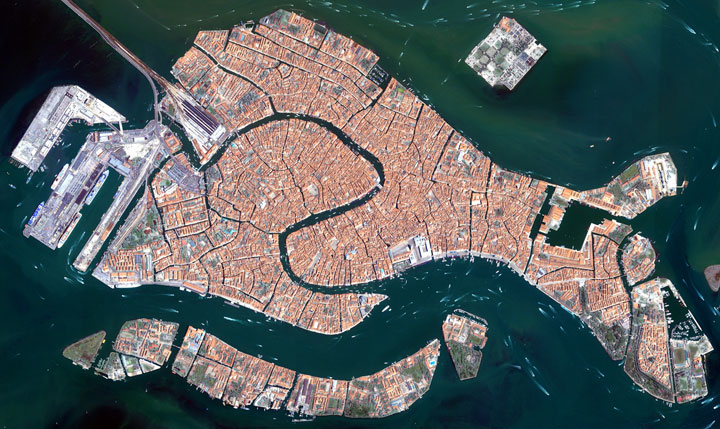
2. Venice
In this picture we see the islands that make up the famous Italian city of Venice. The famous Grand Canal running through the city is also visible, as well as St. Mark’s Square. If you look closely you can see the boats that serve as transportation for tourists and residents.
3. The Algerian Sahara
The image shows the extraordinary landscape of Tanezrouft Basin, one of the most desolate regions of the Sahara Desert in the south-central Algeria. The area is known as the “land of terror” because of its lack of water and vegetation.
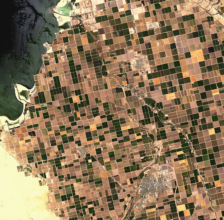
4. Imperial Valley, California
Also called Imperial Valley, it is a vast agricultural plain where farmers grow vegetables and fruit. It extends 80 kilometers from north to south.
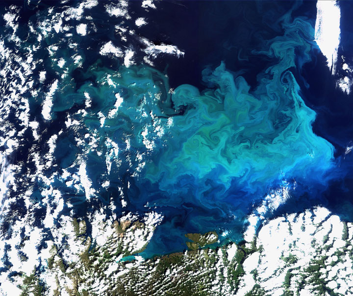
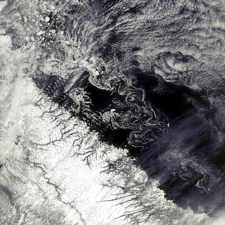
5. Plentiful plankton
This image captures a huge plankton bloom larger than Greece, which extends through the Barents Sea, from the northern tip of Europe.
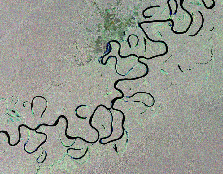
6. The Amazon rainforest of Brazil
This photograph shows the river Juruá that traverses the rainforest in western Brazil.
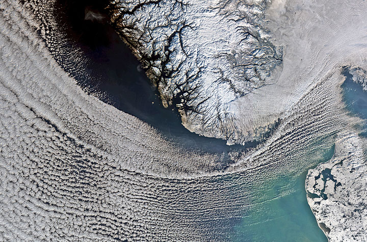
7. Scandinavian snow
Clouds cover the North Sea and extend down to the strait between Denmark (lower right corner) and Norway (top center). In the upper right corner, a thick blanket of clouds covers the South-Eastern Norway and extends till Sweden. Located on the Scandinavian Peninsula, Norway is the northern most country of Europe.
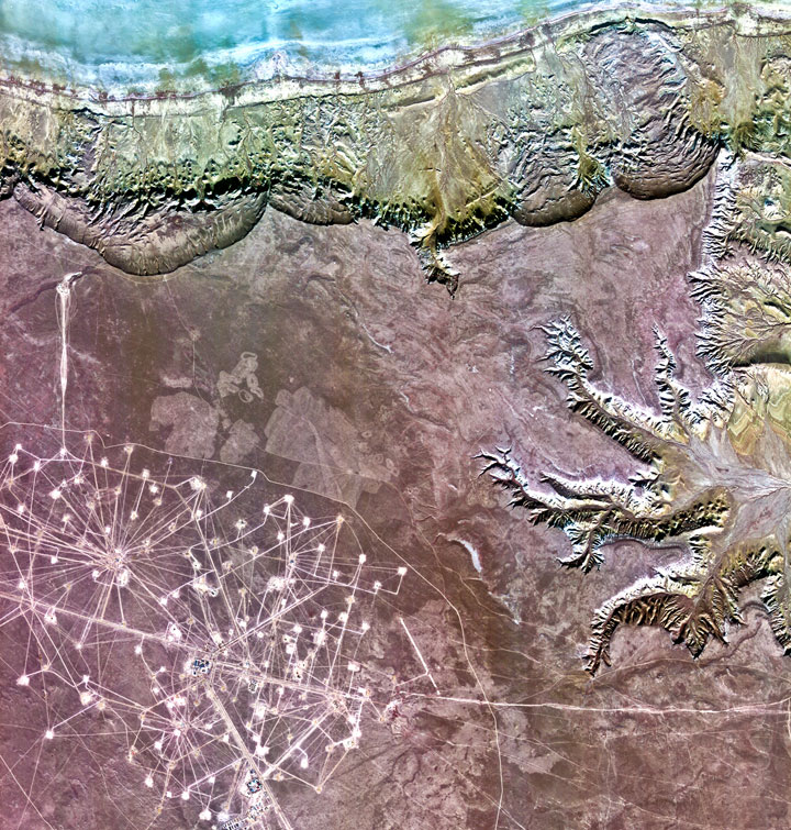
8. The “treasure” Peninsula of Kazakhstan
The image shows a plain covered with low vegetation. The road layouts in the lower left portion of the image represent the oil fields of Karakuduk . The white squares show where the oil wells are located.
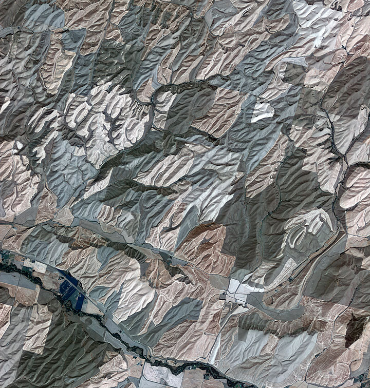
9. The Palouse region
The area is part of the region of Palouse, an agricultural area which produces mainly wheat and legumes. The picturesque landscape has sometimes been compared to that of Tuscany, Italy.
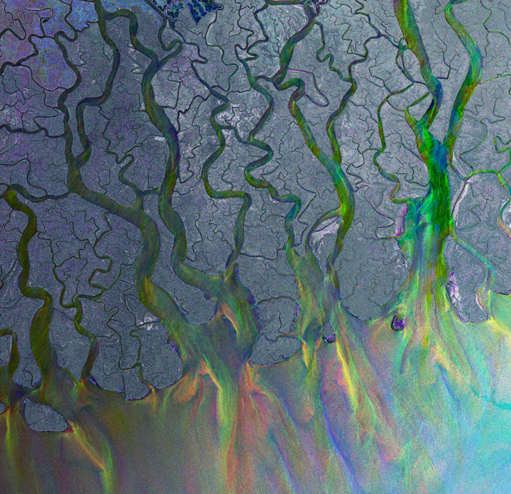
10. The Ganges delta
This image shows the delta of the Ganges, the largest delta in the world. The delta plain is about 350 km wide along the Bay of Bengal and is formed by the convergence of the Ganges , the Brahmaputra and the Meghna rivers.
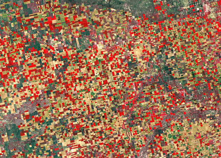
11. Agricultural structures in Kansas
The cultivated land is divided into circles and rectangles because of the different types of irrigation systems. False colors make mostly red and brown vegetation in this image, which allows a better differentiation between different types of vegetation.
12. The driveway of the Iceberg Canada
This Iceberg Alley located in the region of Labrador in Canada was formed after the collapse of a portion of a glacier, which then formed the pieces of ice.
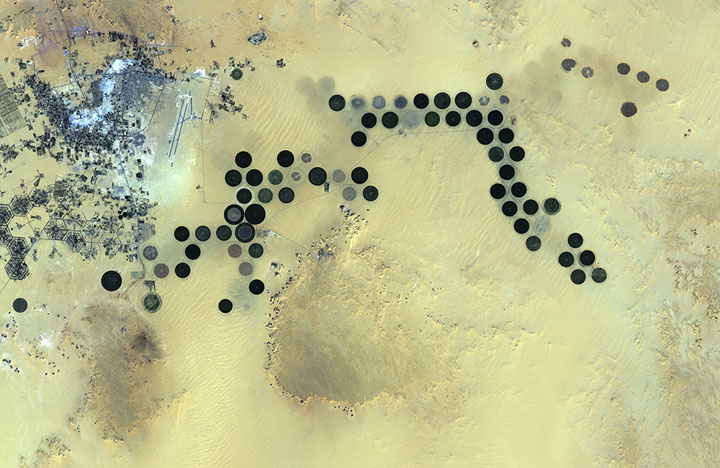
13. The Al Jawf oasis in Libya
The city can be seen in the upper left corner, while large irrigated agricultural plots appear on the image.
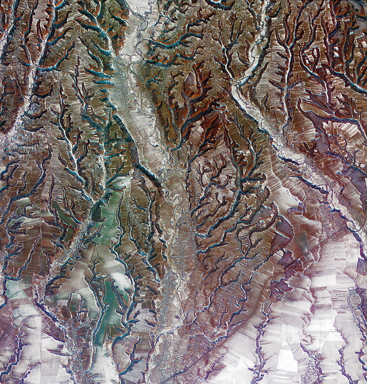
14. The south-central Romania
The photographed area shows the geographical transition between the Carpathians and the lowland plains of the South. The pattern resembling tree branches show the result of erosion along the rivers and streams of the region.
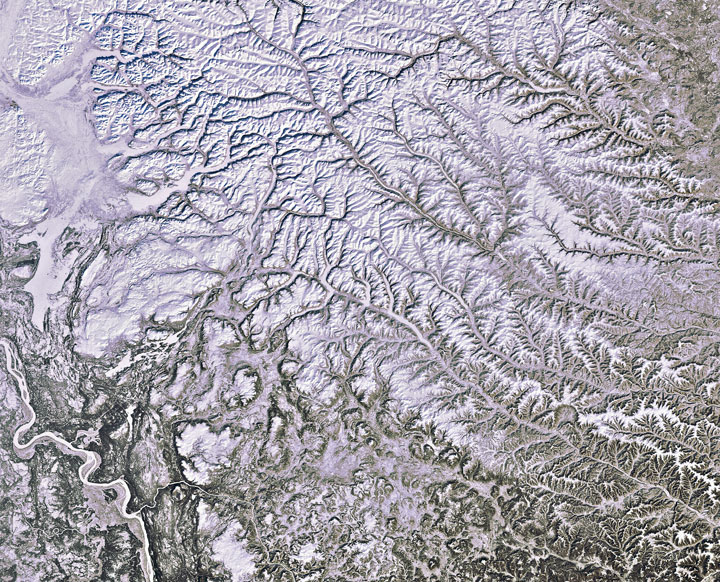
15. Siberian snow
In the lower left corner, we can see the river Yenisei, which flows northward into the Kara Sea. The Yenisei is considered the border between East and West Siberia. The majority of the photo area shows the Arctic Circle, an area where the ground is permanently frozen (called permafrost ).
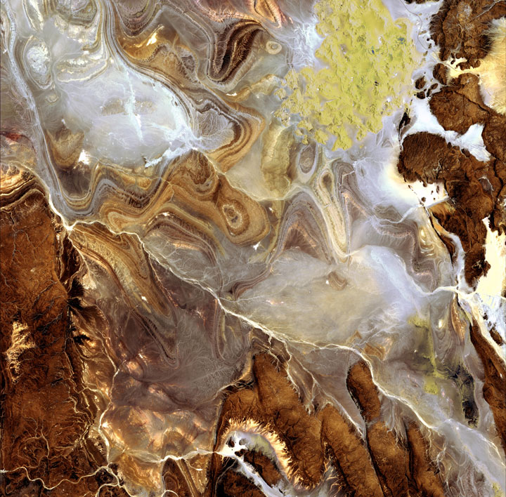
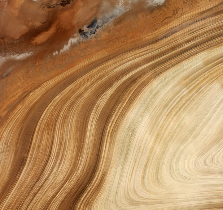
16. The golden curves in Iran
Here, the clay sediments have a high salt content due to the high concentration of minerals. Iran is one of the world’d biggest producers of the minerals.
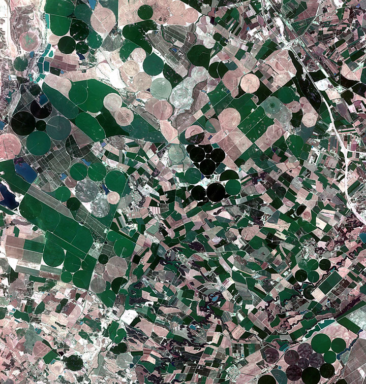
17. Agricultural fields in Catalonia
This image captures the meticulously planned and cultivated landscapes in the autonomous communities of Aragon (West) and Catalonia, in northeastern Spain .
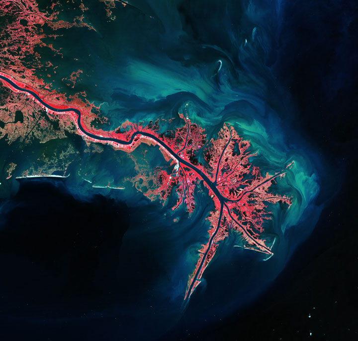
18. The Mississippi River Delta
This image shows the largest river in the United States flowing into the Gulf of Mexico. The vegetation is shown by a striking pink appearance. Blue-green streaks are river sediment flowing into the ocean.
These series of photographs are taken from the archives of the European Space Agency ( ESA ) called Observing the Earth (“Earth observation”). A rich collection of beautiful landscapes that never ceases to amaze us. We particularly love the spectacular Delta Ganges and the view of the Namib Desert. Which of these landscapes amazed you the most? If you liked this article may be you would like to read Top 55 Breathtaking Earth Landscapes As Seen From Space.
Source: Twisted Swifter
